



Two New Landforms Detected Near Anak Krakatau After September Eruptions
Indonesia's Geological Agency has confirmed the appearance of two new landforms near Mount Anak Krakatau in the Sunda Strait, following a major sequence of eruptions earlier this month.

Indonesia's Geological Agency has confirmed the appearance of two new landforms near Mount Anak Krakatau in the Sunda Strait, following a major sequence of eruptions earlier this month.
The formations were first reported by mariners and volunteers who documented the area on September 22, and their presence was subsequently confirmed through Sentinel satellite imagery analyzed through September 23, 2026.
The important distinction is that authorities have confirmed the landforms exist, but have not yet established exactly how they formed.
Where the New Landforms Were Detected
According to the Geological Agency, one formation is located approximately 760 meters from the coast of Anak Krakatau in the northwest sector.
The second is approximately 495 meters from the coast in the southeast sector. Drawn on a straight line, the two locations form a northwest - southeast alignment, with Anak Krakatau's main crater between them.
Their appearance was identified after the volcano underwent prolonged eruptive activity in early September.
What the Geological Agency Has Confirmed
Three findings are currently established.
First, two new landforms are visible around Anak Krakatau.
Second, their presence has been independently supported by field observations from mariners and volunteers and Sentinel satellite imagery.
Third, the formations appeared after a period of significant volcanic activity, including a prolonged eruption from September 4 to 6, 2026.
The Geological Agency has not yet confirmed that either formation is a new eruption center.
What Is Still Being Investigated
The Geological Agency says further data, analysis and field verification are required to determine whether the two formations are new eruption vents or centers or accumulations of secondary eruptive material.
Calling them “two new islands” describes what has been observed on the ground and in satellite imagery, but their precise geological origin remains unresolved.
The formations should therefore not yet be described as evidence that Anak Krakatau has developed two confirmed new volcanic craters.
The September Eruption Did Expand Anak Krakatau
Separate satellite analysis has confirmed substantial physical growth of the volcano itself.
The Geological Agency reported that the approximately 25-hour eruptive episode produced heavy lava flows and resulted in an estimated 32.8-hectare increase in the volcanic edifice.
That figure refers to the expanded volcanic body, not the size of either of the two newly detected landforms.
Why Scientists Link Them to the Eruptions
The Geological Agency has interpreted the appearance of the landforms as closely associated with the continuous eruptions of September 4-6.
Additional geological reporting indicates new deposits and changes in the area after the eruption sequence. One interpretation is that lava and other eruptive material created new accumulations away from the main volcanic body. However, the agency has said this requires further confirmation through additional data and field checks.
The defensible description is: the new landforms appeared following the September eruptions and are interpreted as being related to that activity; their exact formation mechanism remains under investigation.
Anak Krakatau Remains an Active Volcano
The discovery does not change the fact that Anak Krakatau remains an active volcano.
Indonesia subsequently lowered the volcano's activity status from Level III (Siaga) to Level II (Waspada) effective September 21 after activity declined.
A lower alert level does not remove the restrictions around the volcano.
The New Landforms Are Off-Limits
Members of the public and tourists are prohibited from entering within two kilometers of the main crater and within one kilometer of the two new landforms.
That means the formations are not currently tourist attractions, regardless of their geological interest.
Boat operators and visitors in the area should follow the latest instructions from Indonesian authorities.
What About Tsunami Concerns?
The appearance of new land near Anak Krakatau has understandably attracted attention because of the volcano's history.
The Geological Agency has urged communities along the Banten and Lampung coasts not to rely on unverified tsunami claims and to follow instructions from local disaster-management authorities.
Earlier BRIN monitoring also reported no sea-level anomaly indicating a tsunami associated with the September activity.
Travelers should therefore rely on official geological and disaster-management updates rather than social-media speculation.
What This Means for Travelers
For travelers, the immediate practical message is simple: do not approach the new landforms.
The exclusion zones remain in place, and the Geological Agency is still studying the formations. Visitors planning coastal or maritime activities in the Sunda Strait should follow current official restrictions rather than attempting to view the new formations at close range.
Editorial Takeaway
Indonesia's Geological Agency has confirmed two previously unrecorded landforms near Anak Krakatau, supported by reports from mariners and volunteers and by Sentinel satellite imagery.
What has not yet been confirmed is whether those formations are new eruption centers or accumulations of secondary volcanic material.
The September 4-6 eruption produced major physical change, including a reported 32.8-hectare expansion of the volcanic edifice, but that figure should not be confused with the area of the two new formations.
For travelers, the reliable takeaway is that two new landforms have appeared in an active volcanic environment and remain under scientific investigation and access restriction.
This dispatch details active operational updates regarding regional transit corridors, airport procedures, park entry permits, or provincial regulations. Travelers are encouraged to verify departure schedules and official requirements prior to transit.
Featured Stays & Landmarks in This Story

InterContinental Jakarta Pondok Indah By IHG
InterContinental Jakarta Pondok Indah By IHG is a 5-star hotel situated in Jakarta & Greater Capital, Jakarta (Ultra-Luxury), holding a verified guest score of 9.6/10 across 3,524 reviews. Located 964.6 km (2–3 hours drive) with inland valley / highland retreat.

The Langham Jakarta
The Langham Jakarta is a 5-star hotel situated in Jakarta & Greater Capital, Jakarta (Ultra-Luxury), holding a verified guest score of 9.6/10 across 2,372 reviews. Located 963.4 km (2–3 hours drive) with inland valley / highland retreat.
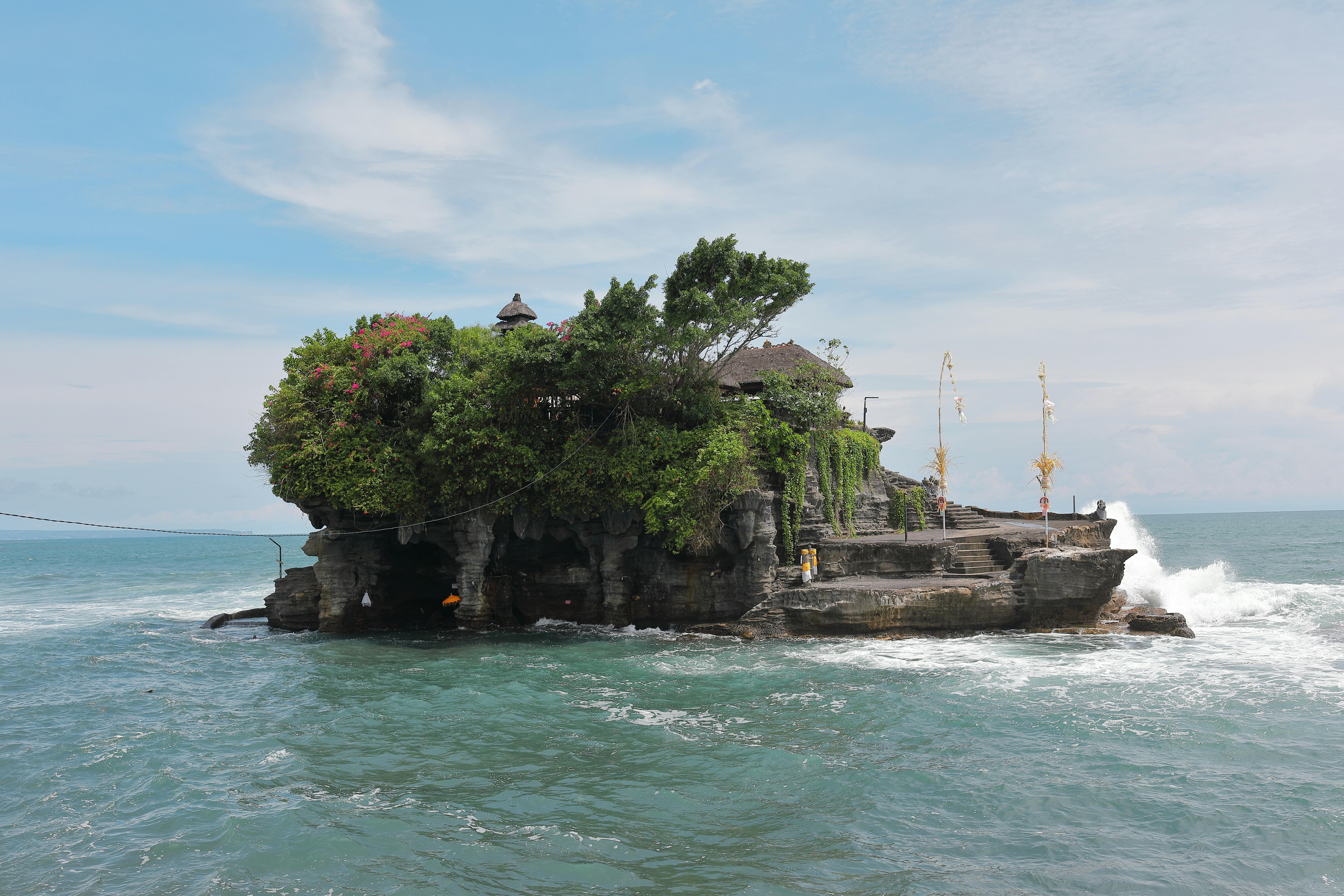
Pura Tanah Lot
Iconic 16th-century sea temple perched upon an offshore rock formation carved by relentless Indian Ocean waves.

Pura Luhur Uluwatu
Cliffside temple crowning a sheer 70-meter limestone drop into roaring Indian Ocean swells, famous for its amphitheater Kecak fire dance.
Related Travel News & Stories

Summiting Sacred Mount Agung Is A Challenge Worth Taking On This Bali Vacation
Hiking to the summit of Mount Agung is nothing short of a life-affirming adventure, and many feel called to undertake it during their stay on the island.
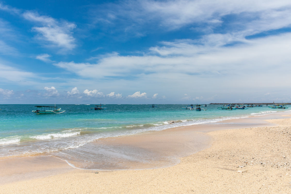
Tidal Flood Risk Warning Issued For Top Bali Tourist Beaches
From 11th-17th August, there is a serious risk of tidal flooding along vast stretches of southern Bali. The Denpasar Region III Meteorology, Climatology, and Geophysics Agency (BMKG) has urged the public to be aware of the potential for tidal flooding along six areas’ coastline...

South Bali To Become Marine Conservation Area Improving Tourists’ Experiences
Marine and maritime tourism is big business in Bali, as is the fishing industry, which is why leaders have come together to introduce new measures to protect the ocean around South Bali.