


Summiting Sacred Mount Agung Is A Challenge Worth Taking On This Bali Vacation
Hiking to the summit of Mount Agung is nothing short of a life-affirming adventure, and many feel called to undertake it during their stay on the island.
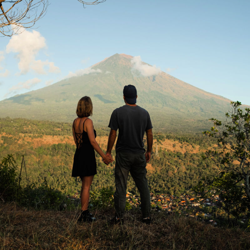
Hiking to the summit of Mount Agung is nothing short of a life-affirming adventure, and many feel called to undertake it during their stay on the island.
Core Overview & Regional Developments
Mount Agung is the most sacred peak in Bali. Mount Agung, meaning the Great Mountain, is an active volcano with deep spiritual significance to the Balinese people.
It is considered to be a replica of the mystical Mount Meru, which in Hindu, Buddhist, and Jain cosmologies is believed to be the centre of the universe and the home of the Gods. The mythologies state that a piece of Mount Meru was brought to the island of Bali to bring stability to the land.
It is true that for those who gaze upon Mount Agung, there is something regal, stable, and grounded about it. Stable it may be for long periods, but it should not be forgotten that Mount Agung is an active volcano.
With a summit of 3,031m, many will remember the travel disruptions and local evacuations of 2017 and 2019 caused by ongoing ash cloud eruptions. In 1963, Mount Agung experienced a major eruption, which killed more than 1,000 people.
Mount Agung is no beginner’s hike; this is a technically difficult and serious endeavor. While ‘watching the sunrise from Mount Agung’ may feature on many a passing list of things to do in Bali, it is by no means as simple, safe, or accessible as, say, the Camphuan Ridge Walk in Ubud, or even a sunset walk along Echo Beach.
Operational Details & Local Coordination
To climb Mount Agung, take great care, intention, respect, and planning. It is essential to hire a local guide and be accompanied all the way to the summit. Local guides know these routes like the back of their hands, and their insights are essential for safe passage.
Not only are the trails poorly marked, but the routes are often navigated under the cover of darkness so as to be at the summit for sunrise, and conditions on the slopes can change at a moment’s notice, with rolling fog a common occurrence.
Even those who have experience engaging in self-led but challenging hikes in Europe, the US, New Zealand, or other such destinations must still hire a local guide. In fact, tourists have a legal responsibility to do so.
The most popular route is the Pura Pasar Agung Route, which is a short and fairly strenuous ascent. It takes around 4-5 hours to reach the crater rim, rather than the very top of the peak.
The Pura Besakih Route, by contrast, is the longer and far more challenging route. It generally takes 5-7 hours to complete and takes trekkers to the true 3,031m summit of the volcano. The final ascent on both routes is seriously challenging, and many recommend a slow and steady scramble on all fours, which is certainly not for the faint-hearted.
Traveler Perspectives & Corridor Insights
It is essential to have all the right equipment before heading off on the trekking route. Decent hiking shoes are a must, and preferably ones that have already been worn in. No one wants to be dealing with blisters and foot ache only two-thirds of the way into the journey.
While much of Bali enjoys tropical heat, Mount Agung is a chilly place to be. The high elevation, even in the lower sections of the route, is very cold indeed, especially at night when most people start out on their hikes. A thermal jacket and waterproof cover are essential.
For a comprehensive list of what to bring on a trek on Mount Agung, hikers should contact their guide directly, since sometimes some equipment is provided as part of the guiding fee.
Tourists should also check that their travel and medical insurance covers trekking to 3,031m. Many policies do not automatically include trekking and hiking.
What It Means for Travelers
Staying informed on regional developments helps visitors navigate the island with confidence and ease. Plan journeys with sensible logistical buffers and consult authoritative destination resources for up-to-date guidance.
Related Travel News & Stories
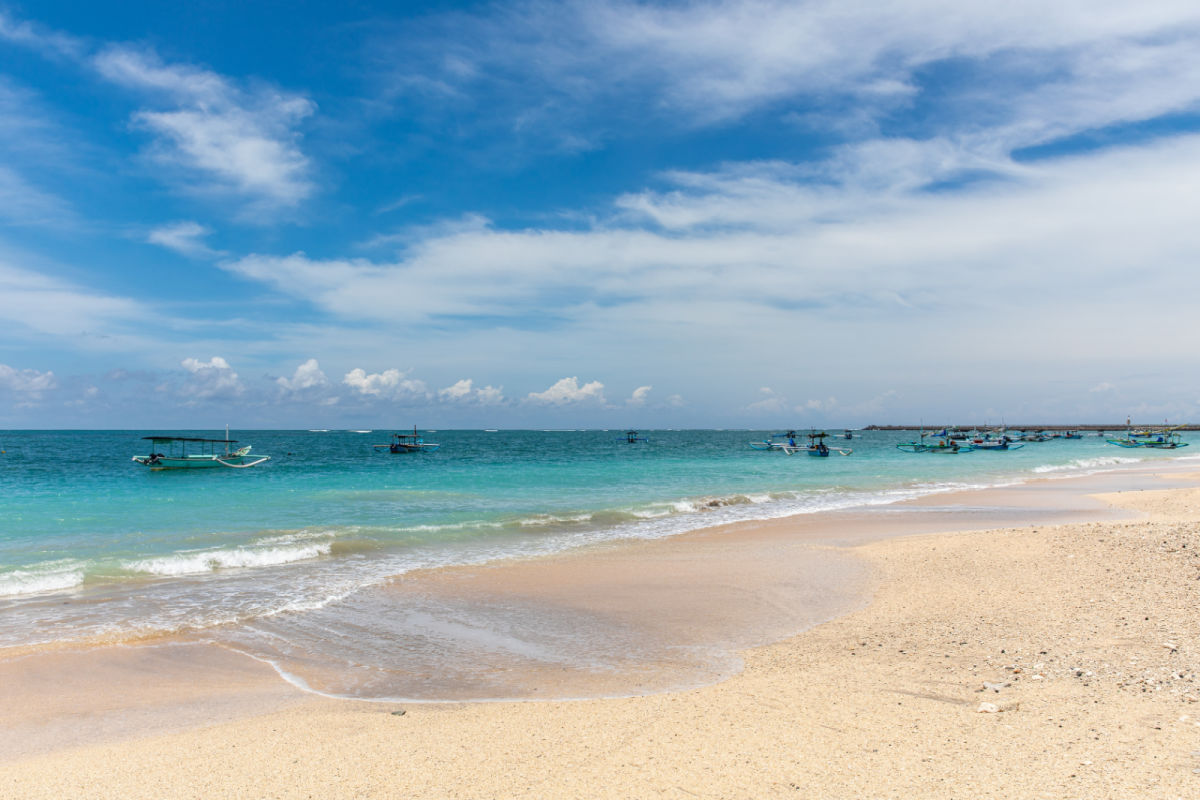
Tidal Flood Risk Warning Issued For Top Bali Tourist Beaches
From 11th-17th August, there is a serious risk of tidal flooding along vast stretches of southern Bali. The Denpasar Region III Meteorology, Climatology, and Geophysics Agency (BMKG) has urged the public to be aware of the potential for tidal flooding along six areas’ coastline...

South Bali To Become Marine Conservation Area Improving Tourists’ Experiences
Marine and maritime tourism is big business in Bali, as is the fishing industry, which is why leaders have come together to introduce new measures to protect the ocean around South Bali.
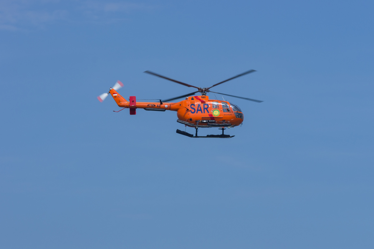
Beach Safety For Kids Top Priority For Bali Tourists As Serious Incident Unfolds
On Tuesday afternoon, despite intensive efforts from Search and Rescue teams, the two children had not been found.