



Earthquake-Tsunami Disaster Readiness Drill Conducted in Bali
NusaBali reports that the Indonesian Armed Forces (TNI), together with other services, are conducting earthquake and tsunami disaster management readiness drills as part of an operation called 2026 Kogabwilhan II (Joint Regional Defense Command II). On its sixth day, Saturday,...

NusaBali reports that the Indonesian Armed Forces (TNI), together with other services, are conducting earthquake and tsunami disaster management readiness drills as part of an operation called 2026 Kogabwilhan II (Joint Regional Defense Command II). On its sixth day, Saturday, 08 August 2026, the exercise entered its field application phase, centered on the Mertasari Beach area in Sanur Kauh Village, South Denpasar District, Denpasar City.
Latest Situation & Advisory Details
The activity assesses personnel readiness, operational procedures, command and control, and inter-agency coordination in the face of a possible large-scale disaster.
The Commander of Kogabwilhan II, Air Marshal Muzafar, was present to observe the exercise together with the Commander of Military Regional Command (Kodam) IX/Udayana, Major General Piek Budyakto—acting as the Commander of the Integrated Joint Task Force (Pangkogasgabpad)—as well as officials from TNI Headquarters, Kogabwilhan II, and the Bali Provincial Government.
”This Operational Readiness Exercise aims to test the readiness of procedures, command and control, interoperability, and inter-agency synergy in facing large-scale disaster scenarios,” said Muzafar. Continuing, he said the exercise also aims to align perspectives and enhance the capabilities of every element so they can provide a rapid, precise, integrated, and coordinated response when a disaster occurs.
Affected Corridors & Port/Flight Status
The exercise involves elements from the Army, Navy, and Air Force under a Kogabwilhan II command structure, as well as the National and Regional Disaster Management Agencies (BNPB/BPBD), the National Search and Rescue Agency (Basarnas), the National Police (Polri), local governments, health service providers, and other relevant ministries/agencies.
Bali was selected as the exercise location due to the potential threat of earthquakes and tsunamis. Furthermore, the high mobility of residents and tourists on the “Island of the Gods” necessitates robust disaster preparedness. During the preceding five days, the massive joint exercise took place at the command headquarters, encompassing the drafting of the Operation Plan, determining the Course of Action, refining the plan, conducting a Tactical Floor Game (TFG), and, finally, the troop deployment of the Joint Integrated Task Force (Kogasgabpad). On the sixth day, Saturday, 08 August, the exercise transitioned to field application exercises.
In addition to testing operational capabilities, the exercise included social outreach measures, during which personnel distributed some 1,200 packages of necessities to communities surrounding the exercise area. A health outreach program offering free medical treatment was also held at Puputan Niti Mandala Renon Field, which—within the exercise scenario—was simulated to become an evacuation site in the event of a disaster.
Safety Restrictions & Operational Directives
The Head of Information for Military Regional Command (Kodam) IX/Udayana, Colonel (Infantry) Amrizal Nasution, stated that the exercise served as a means to test the readiness of personnel and units, as well as Kodam IX/Udayana’s ability to integrate Indonesian National Armed Forces assets with relevant agencies for disaster management.
”This exercise serves as a means to test the readiness of personnel and units—including command and control effectiveness—and Kodam IX/Udayana’s ability to integrate the armed forces with relevant elements to ensure a rapid, precise, and coordinated response when facing disasters,” he said.
Through the emergency preparedness exercise, the Kodam IX/Udayana Joint Integrated Task Force and all participating elements are expected to be better prepared to handle emergencies. The ultimate goal is to ensure that disaster management responses can be executed rapidly and in an integrated manner to protect the public.
What Travelers Should Do
Maritime and atmospheric weather patterns can affect inter-island boat crossings to Nusa Penida, Nusa Lembongan, and Lombok. When swell or weather warnings are active, travelers should confirm departure schedules directly with licensed harbor operators and maintain flexible itinerary timing. For live harbor advisories, wave heights, and marine condition reports across Badung Strait, refer to our Island Travel Safety Radar.
Planning a trip to Sanur?
Explore current destination intelligence, curated accommodations, cultural landmarks, and island events before you travel.
Curated Stays & Sanctuaries in Sanur
Curated luxury accommodations featuring private pool sanctuaries, authentic architectural heritage, and seamless concierge support.

Andaz Bali
Andaz Bali is a 5-star hotel situated in Sanur, Bali (Ultra-Luxury), holding a verified guest score of 9.5/10 across 753 reviews. Located 12 km (35–50 mins drive)) with short scooter / drive (< 2km to coast).

Bali Beach Hotel
Bali Beach Hotel is a 5-star hotel situated in Sanur, Bali (Ultra-Luxury), holding a verified guest score of 9.4/10 across 1,396 reviews. Located 13.2 km (35–50 mins drive)) with short scooter / drive (< 2km to coast).

Maya Sanur Resort and Spa
Maya Sanur Resort and Spa is a 5-star resort situated in Sanur, Bali (Ultra-Luxury), holding a verified guest score of 9.2/10 across 3,490 reviews. Located 12 km (35–50 mins drive)) with short scooter / drive (< 2km to coast).
Iconic Landmarks & Sacred Sanctuaries Across Bali
Protected cultural heritage, historical architecture, and iconic natural viewpoints with official entrance tariffs and etiquette rules.
 cultural village
Free Access
cultural village
Free Access
Mas Wood Carving Village
Mas is the epicentre of Balinese wood carving mastery, where legend holds that the sage Nirartha first taught the art of carving sacred masks and ritual statues to local craftsmen in the 16th century.
 cultural village
$2.79
cultural village
$2.79
Kertha Gosa Pavilion (Royal Court of Justice)
The historic 18th-century supreme royal hall of justice of the Klungkung Kingdom, famed for its masterfully painted Kamasan ceiling frescoes depicting karmic retribution.
 beach landmark
Free Access
beach landmark
Free Access
Sanur Beach Promenade & Reef Lagoon
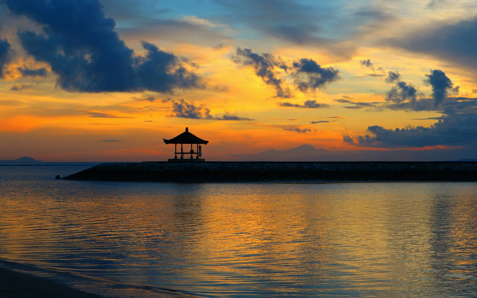
Bali’s classic sunrise shoreline, featuring a calm turquoise coral lagoon, iconic offshore gazebos, and a paved five-kilometer beachfront cycling promenade.
Guided Tours & Field Experiences in Sanur
Handcrafted tours, masterclasses, and coastal expeditions led by licensed local guides with verified booking options.
 culture
📍 Sanur
$41.88
culture
📍 Sanur
$41.88
Lempuyang Gate of Heaven & Tirta Gangga Royal Water Palace Day Tour
Comprehensive day journey across Karangasem's royal water architecture, iconic highland temple gates overlooking Mount Agung, and sunbeam-lit canyon waterfalls.
 culture
📍 Sanur
$33.50
culture
📍 Sanur
$33.50
Celuk Village Master Silversmith Jewelry Workshop
Forge, saw, solder, and polish your own bespoke sterling silver jewelry guided by ancestral generational silversmiths in Desa Celuk.
 wellness
📍 Sanur
$11.17
wellness
📍 Sanur
$11.17
Sanur Oceanfront Sunrise Yoga & Pranayama Flow
Breathe with gentle coastal morning breezes as the sun rises over Mount Agung and Nusa Penida on Sanur’s calm sandy shoreline.
Planning a Bali trip?
Explore current destination information, accommodation options, and events before you travel.
Related Travel News & Editorial Dispatches
Stay informed with latest field updates, regulatory notices, and luxury hospitality coverage across Bali and Beyond.
 📍 Sanur
Bali High-Wave Warning: What Travelers Need to Know About Fast Boats, Strait Crossings, and Marine Safety This Week
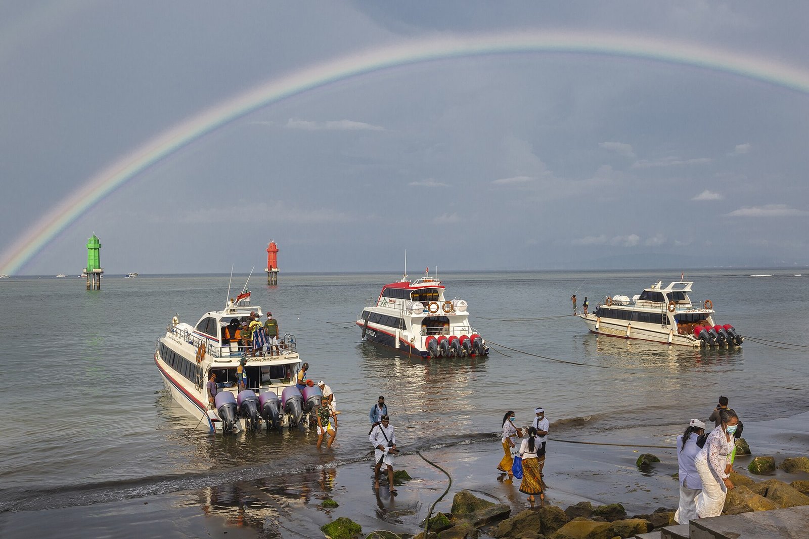
BMKG has issued a maritime advisory forecasting 2.5 to 4.0-meter ocean swells across the southern Bali waters and Lombok Strait through October 10; here is what the alert means for fast-boat crossings, port operations, and island itineraries.
 📍 Sanur
Bali Southern Coast Faces 3.5-Meter Ocean Swells Through October 4 as BBMKG Issues Maritime Advisory
DENPASAR, Bali - October 1, 2026 - The Meteorology, Climatology, and Geophysical Agency Region III Denpasar (BBMKG) has issued an official maritime weather warning for the coastal waters of Bali, forecasting dangerous sea swells ranging between 2.5 and 3.5 meters through Sunday, October 4, 2026. The advisory directly affects southern maritime corridors, fast-boat passenger crossings, commercial dive excursions, and beachfront recreational zones across the island.
 📍 Sanur
Bali - Java Ferry Disruptions Highlight the Island’s Dependence on Food and Logistics Links
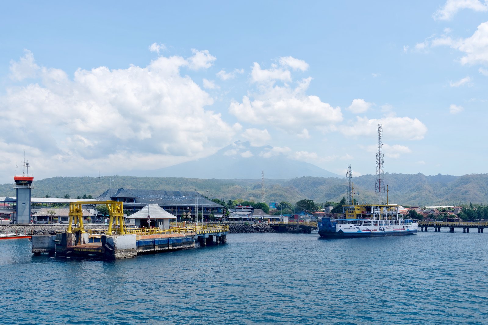
DENPASAR, Bali - September 29, 2026 - The acute, multi-day vehicular gridlock recently experienced along the Ketapang - Gilimanuk ferry corridor in the Bali Strait has reignited urgent policy discussions among provincial economists, business leaders, and government authorities regarding Bali’s systemic vulnerability to single-point maritime supply disruptions.
 📍 Sanur
Bali Workers Push for Higher 2027 Minimum Wage as Wage Talks Begin
DENPASAR, Bali - September 29, 2026 - Labor organizations representing tourism, hospitality and industrial workers across Bali have formally initiated proposals for the province's 2027 Provincial Minimum Wage (Upah Minimum Provinsi / UMP), recommending a benchmark rate of approximately Rp4.5 million per month.
 📍 Sanur
Bali's Southern Coast Under Tidal-Flood Watch Through September 30
DENPASAR, Bali - September 27, 2026 - Bali’s southern coastline remains under a potential coastal flooding and high-tide warning through September 30, with meteorological authorities urging communities and visitors near the coast to remain alert as sea levels rise around the September 26 full moon.
 📍 Sanur
Bali Begins 112 Emergency Hotline Pilot, Bringing Multiple Services Under One Number
DENPASAR, Bali - September 25, 2026 - Bali has been selected as Indonesia’s pilot province for a single emergency telephone number, marking a major step toward integrating the island’s fragmented emergency-response services under 112.