



Gerokgak Records an Extended Dry Spell as Bali Watches Weather Transition
SINGARAJA, Buleleng - September 29, 2026 - The Climatology Station of the Meteorology, Climatology, and Geophysics Agency (BMKG Bali) has formally placed the sub-district of Gerokgak in western Buleleng Regency under "Extreme Drought Alert" status after meteorological monitoring confirmed that the region has recorded more than 60 consecutive days without measurable precipitation (Hari Tanpa Hujan / HTH).
SINGARAJA, Buleleng - September 29, 2026 - The Climatology Station of the Meteorology, Climatology, and Geophysics Agency (BMKG Bali) has formally placed the sub-district of Gerokgak in western Buleleng Regency under "Extreme Drought Alert" status after meteorological monitoring confirmed that the region has recorded more than 60 consecutive days without measurable precipitation (Hari Tanpa Hujan / HTH).
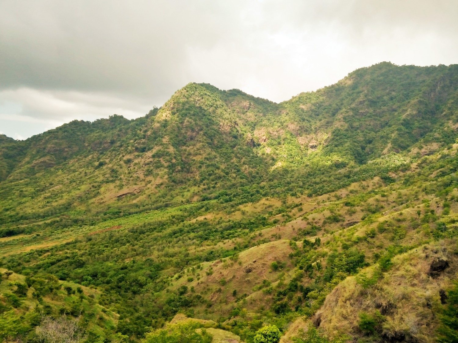
Situated along Bali's northern coastline between West Bali National Park and the port of Celukan Bawang, Gerokgak represents the island’s most arid geographical territory.
The prolonged meteorological dry spell is a direct consequence of the region's position within the topographical rain shadow cast by Bali's central volcanic mountain ridge - comprising Mount Batukaru, Mount Lesung, and Mount Bratan - which effectively intercepts moisture-laden southern trade winds before they can reach the northern coastal plains.
The acute lack of rainfall has resulted in steadily declining water retention levels across local irrigation reservoirs, forced agricultural water rationing for dryland farming communities, and sharply heightened wildfire vulnerabilities across coastal savanna grasslands and protected monsoon forest reserves.
Shrinking reservoir reserves and agricultural mitigation
Field hydrological measurements conducted by the Bali-Penida River Basin Management Office (BWS Bali-Penida) indicate that water reserves at the Gerokgak Dam - the sub-district's primary surface water retention facility - have dropped to approximately 28 percent of effective operational capacity.
The diminishing water volume has forced the local irrigation management committee to prioritize municipal drinking water supplies and livestock hydration, instituting strict rotational water rationing for downstream subak agricultural lands.
Farmers throughout Gerokgak’s agricultural villages - including Pejarakan, Sumberkima, Banyupoh, and Sanggalangit - have adjusted cultivation cycles, temporarily suspending water-intensive horticultural crops in favor of drought-tolerant legumes, corn, and dryland cassava.
"Gerokgak is historically adapted to semi-arid conditions, but an unbroken dry spell exceeding two full months tests the limits of rural water management," stated the Head of the Buleleng Agriculture Office. "Our field extension officers are working closely with subak leaders to distribute drought-resilient seed stocks and optimize ground-well water pumps. Maintaining rural livestock health is also a priority; we have distributed emergency fodder and mineral supplements to cattle farmers whose customary grazing pastures have completely dried out."
The Buleleng Regional Disaster Management Agency (BPBD Buleleng) has deployed clean water tanker trucks on daily rotational schedules to deliver potable water directly to remote residential hamlets (banjars) facing depleted household shallow wells.
Wildfire surveillance in West Bali National Park and coastal savanna
The extended dry period has elevated wildfire danger across western Buleleng's fragile ecosystems to critical levels.
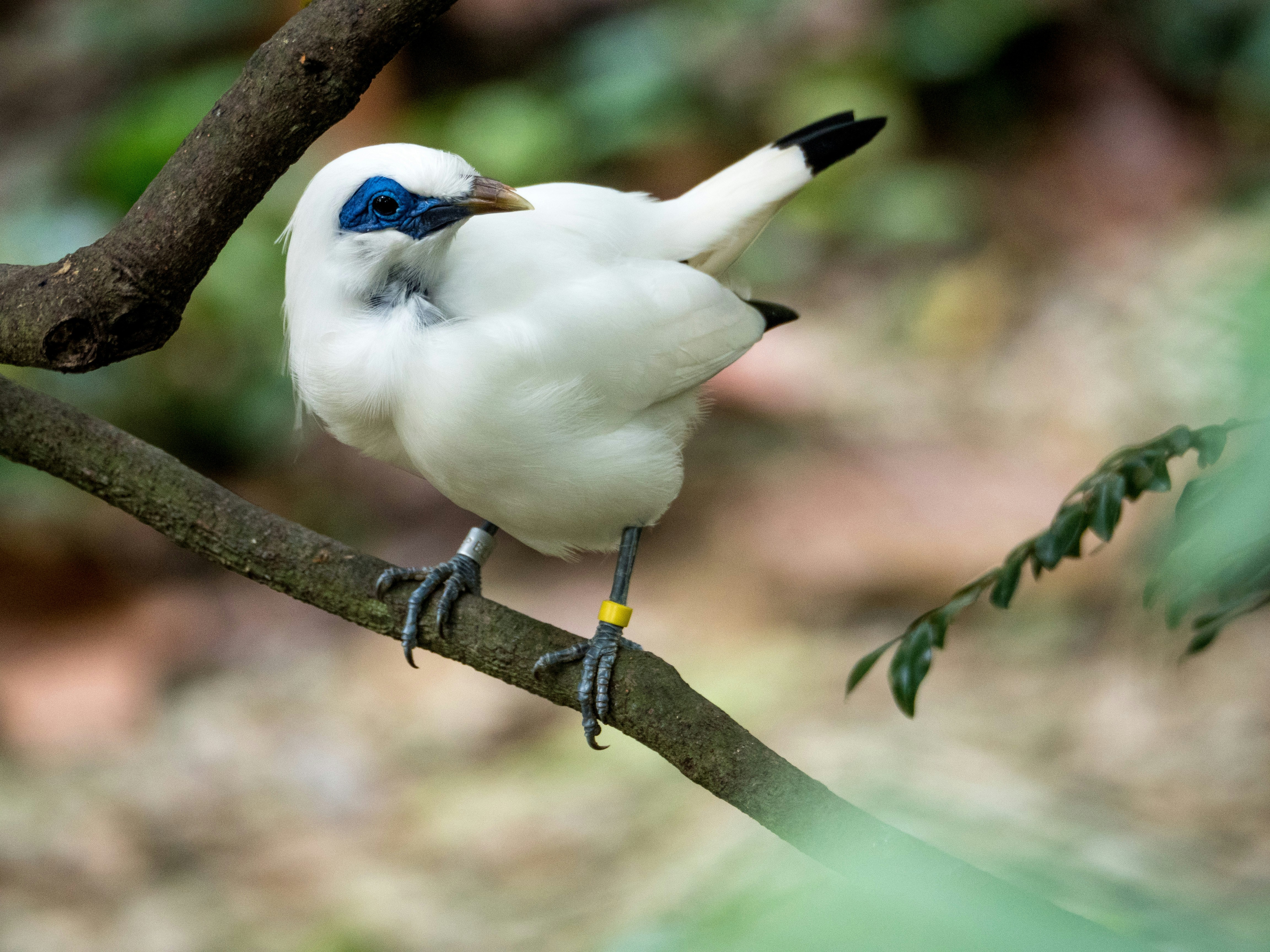
Gerokgak encompasses substantial protected conservation territory within the eastern boundary of West Bali National Park (Taman Nasional Bali Barat / TNBB), home to the critically endangered Bali Starling (Leucopsar rothschildi).
Park rangers, local military commands (Koramil), and volunteer forest firefighting brigades (Masyarakat Peduli Api / MPA) have intensified joint motorized and foot patrols through vulnerable savanna forest corridors:
- Prohibition on Open Burning: Strict municipal and customary village bans on burning agricultural crop residue, dry leaves, and scrubland vegetation are being vigorously enforced, with pecalang monitoring rural boundaries.
- Firebreak Maintenance: Forestry crews have cleared and maintained five-meter-wide vegetation firebreaks along highway perimeters and boundary lines separating farmland from protected national park deciduous forests.
- Thermal Satellite Monitoring: The TNBB conservation center continuously monitors satellite hotspots (LAPAN/BRIN thermal detection) to identify any subterranean or surface smoke signatures within minutes of ignition.
Contrasting microclimates across the island of Bali
For visiting tourists and outside observers, the extreme aridity in Gerokgak illustrates the dramatic microclimatic diversity that characterizes the island of Bali.
While travelers residing in the lush central highlands of Ubud or the south-central beaches of Seminyak and Sanur frequently experience humid tropical conditions and occasional convective afternoon drizzle, northern Buleleng operates under a distinct semi-arid tropical savanna regime (Köppen Aw classification).
The dry sunny weather presents unique, contrasting opportunities for regional adventure and marine tourism:
- Pristine Coastal Diving at Menjangan Island: Situated directly off the Gerokgak coast, Menjangan Island’s marine reserve currently enjoys optimal underwater conditions, with calm surface seas and water visibility exceeding 30 meters, drawing world-class scuba divers and snorkelers.
- Eco-Resorts and Agro-Tourism in Pejarakan: Eco-resorts nestled among salt pans and mangrove reserves offer peaceful, uncrowded retreats for travelers seeking tranquil wellness and wildlife watching far from southern urban crowds.
Outlook for seasonal monsoon transition
BMKG climatologists project that the delayed arrival of the west monsoon will keep northern Buleleng in prevailing dry conditions until at least late November or early December, when seasonal wind currents finally shift to draw moisture across the Java Sea.
Until steady seasonal rainfall arrives, coordinated municipal water logistics, prudent agricultural water rationing, and vigilant wildfire prevention remain essential to safeguarding the livelihoods, natural ecosystems, and rural communities of North Bali.
This dispatch details active operational updates regarding regional transit corridors, airport procedures, park entry permits, or provincial regulations. Travelers are encouraged to verify departure schedules and official requirements prior to transit.
Planning a trip to Lovina?
Explore current destination intelligence, curated accommodations, cultural landmarks, and island events before you travel.
Curated Stays & Sanctuaries in Lovina
Curated luxury accommodations featuring private pool sanctuaries, authentic architectural heritage, and seamless concierge support.

The Cabin Hotel Lovina Bali
The Cabin Hotel Lovina Bali is a 5-star hotel situated in Bali, Bali (Ultra-Luxury), holding a verified guest score of 9.5/10 across 132 reviews. Located 65.8 km (2–3 hours drive) with coastal enclave (< 5km to beach).

The Lovina
The Lovina is a 5-star resort situated in Bali, Bali (Ultra-Luxury), holding a verified guest score of 9.2/10 across 829 reviews. Located 67.9 km (2–3 hours drive) with absolute beachfront (< 100m).

Lovina Haven Boutique Resort
Lovina Haven Boutique Resort is a 5-star hotel situated in Bali, Bali (Ultra-Luxury), holding a verified guest score of 9.1/10 across 338 reviews. Located 66.8 km (2–3 hours drive) with short scooter / drive (< 2km to coast).
Iconic Landmarks & Sacred Sanctuaries Across Bali
Protected cultural heritage, historical architecture, and iconic natural viewpoints with official entrance tariffs and etiquette rules.
 beach landmark
$11.14
beach landmark
$11.14
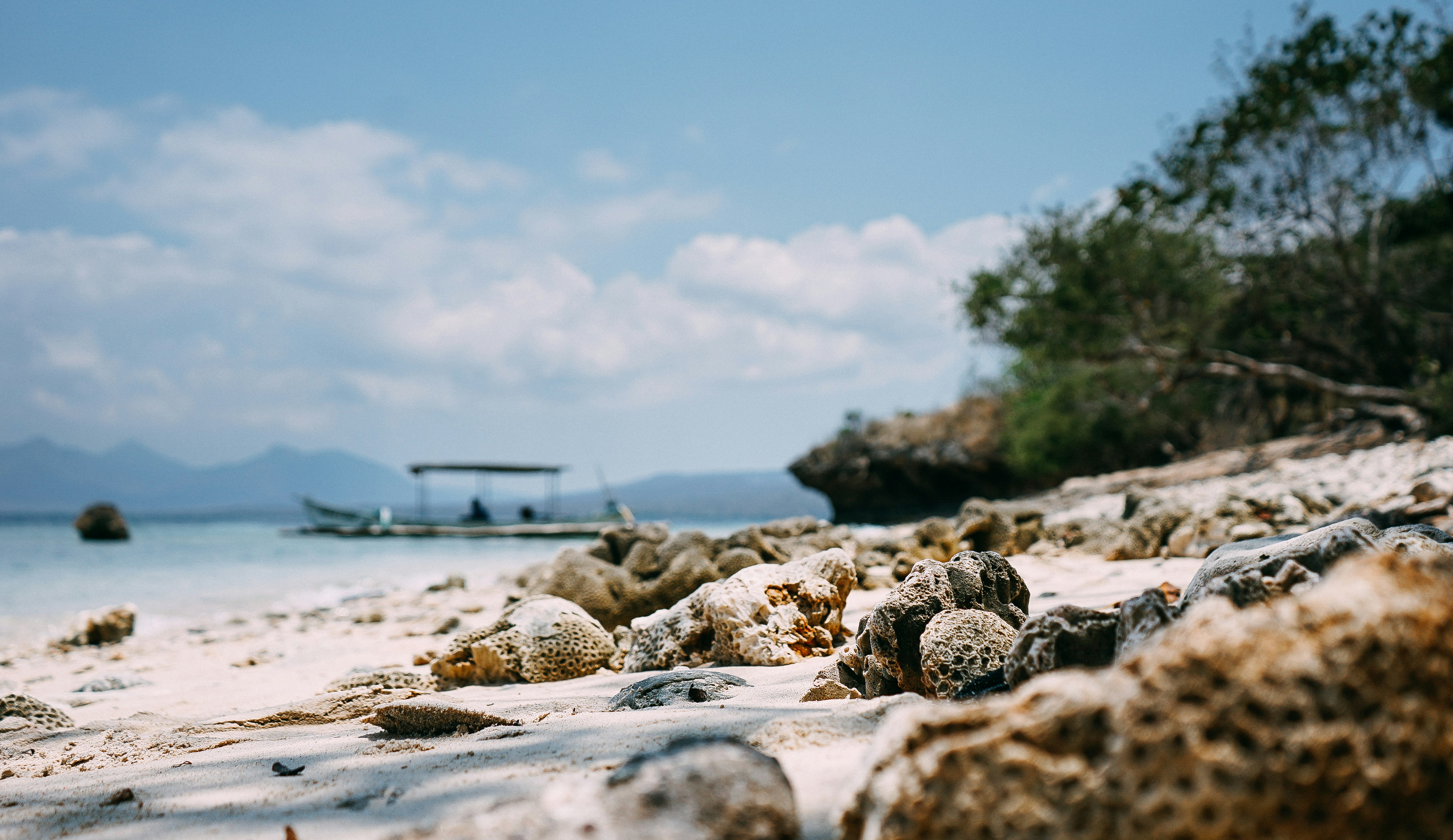
Menjangan Island Marine Park
Protected uninhabited island renowned for pristine vertical coral reef drop-offs, 50m visibility, and wild Javan rusa deer strolling the beaches.
 cultural village
$11.14
cultural village
$11.14
West Bali National Park (Taman Nasional Bali Barat)
19,000-hectare biodiverse conservation reserve sheltering savanna, mangroves, coastal rainforests, and the endangered white Bali Starling (Jalak Bali).
 cultural village
Free Access
cultural village
Free Access
Celuk Gold & Silver Artisan Village
Bali's renowned gold and silver filigree capital, where hereditary Pande smith families have crafted intricate hand-wrought jewelry for royal courts and devotional offerings for centuries.
Guided Tours & Field Experiences in Lovina
Handcrafted tours, masterclasses, and coastal expeditions led by licensed local guides with verified booking options.
 water marine
📍 Lovina
$75.21
water marine
📍 Lovina
$75.21
Menjangan Island Coral Wall Scuba Diving Expedition
Pristine vertical reef walls dropping 60 meters in West Bali National Park, celebrated for 40-meter visibility, sea fans, and hawksbill turtles.
 nature
📍 Lovina
$16.71
nature
📍 Lovina
$16.71
Lovina Sunrise Wild Dolphin Watching via Traditional Jukung
Cruise into the calm northern Bali Sea at sunrise as pods of wild spinner dolphins breach and leap in glassy turquoise waters.
 water marine
📍 Lovina
$17.83
water marine
📍 Lovina
$17.83
Lovina Coastal Reef Snorkeling & Black Sand Sunset Sail
Board a traditional wooden outrigger boat to explore the calm, sapphire waters of the Bali Sea along Lovina's volcanic coastline. Snorkel above thriving inshore coral reefs teeming with damselfish and sea anemones before drifting beneath a brilliant crimson sunset. It offers a tranquil marine escape showcasing the gentle pace of Northern Bali's fishing heritage.
Related Travel News & Editorial Dispatches
Stay informed with latest field updates, regulatory notices, and luxury hospitality coverage across Bali and Beyond.
 📍 Lovina
North Bali Gains Attention as Education Events Broaden the Island’s MICE Geography
SINGARAJA, Buleleng - September 29, 2026 - While southern Bali's luxury resort enclaves in Nusa Dua, Kuta, and Seminyak have long maintained an effective monopoly over Indonesia’s multi-million-dollar Meetings, Incentives, Conferences, and Exhibitions (MICE) sector, Buleleng Regency and the North Bali coastal corridor are rapidly carving out a prominent reputation as a competitive national hub for academic conventions, educational symposiums, and institutional retreats.
 📍 Lovina
Bali Faces Growing Fire Risk as Prolonged Dry Conditions Continue
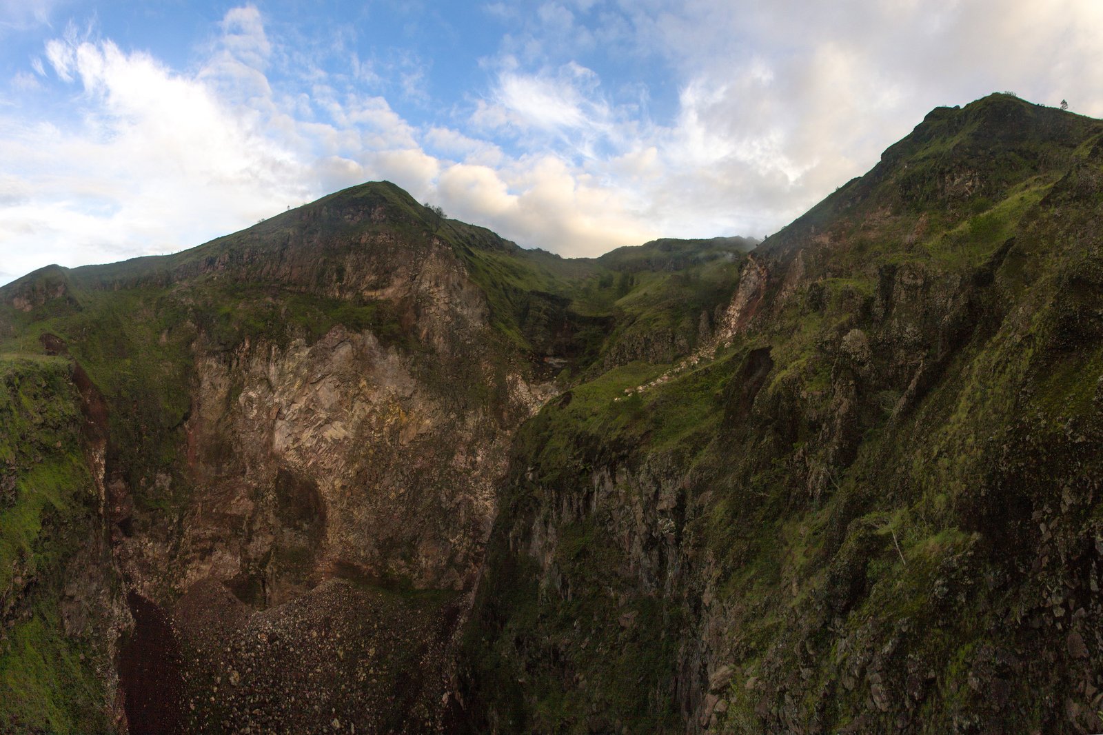
DENPASAR, Bali - September 29, 2026 - The Bali Regional Disaster Management Agency (BPBD Bali), in coordination with the Meteorology, Climatology, and Geophysics Agency (BMKG), has issued an elevated wildfire and structural fire advisory across multiple regencies as prolonged dry-season conditions and gusty southeasterly winds continue to desiccate open vegetation across the island.
 📍 Lovina
Why North and East Bali Matter to the Island's Next Tourism Chapter
BULELENG, Bali - September 27, 2026 - Bali's next tourism battle may not be about attracting more visitors. It may be about persuading them to leave the southern corridor - and giving them enough reason to stay elsewhere.
 📍 Lovina
Intergenerational Meeting Point in Singaraja City Center
One by one the sidewalk lights started to come on. The originally blue sky slowly turned orange. Singaraja City Center looked different that afternoon. Areas that previously only had vehicles passing through have now become new public spaces that are busy with residents.
 📍 Lovina
Wildfires Ravage Indonesia: Here’s What Bali Tourists Need To Know
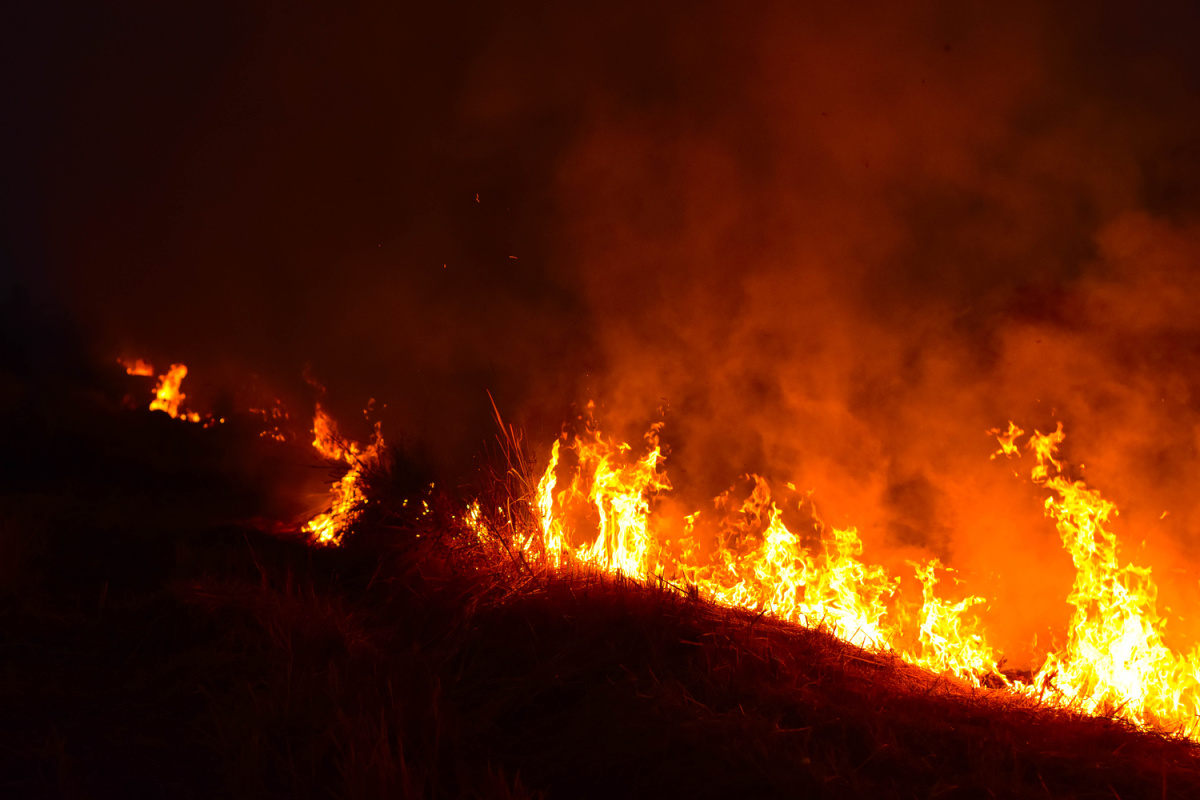
Wildfires are ravaging high swathes of Kalimantan on the island of Borneo. Indonesian President Prabowo Subianto has personally led the response to the forest and land fires in the region and visited Kalimantan over the weekend.
 📍 Lovina
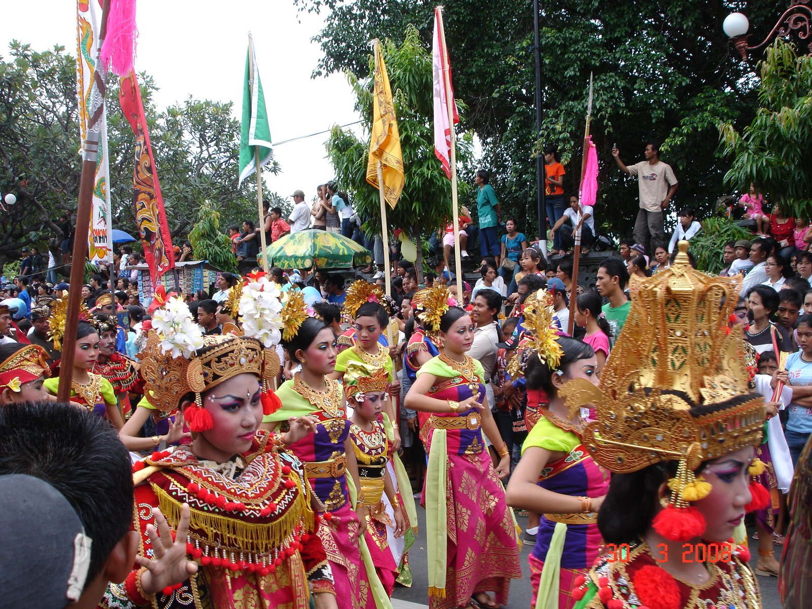
Governor Koster at the Buleleng Festival: Culture is the breath of Bali, take care of it seriously at all times
Denpasar (National Archipelagic Wire) - Bali Governor Wayan Koster asked all elements of Buleleng Regency society to consistently maintain and preserve the arts, culture, traditions and local wisdom of the region.